How to identify capillary function with Sensoterra soil moisture data
In this series we help to identify actionable insights with soil moisture data by identifying soil moisture behavior. Why are there fluctuations in soil moisture levels from day to night? What is capillary function, and how can it be identified across soil horizons? What is the role of plants and capillary function? How do different soil textures influence water flow within soil? We’ll aim to answer these questions and more in this series on interpreting soil moisture data and capillary function of the soil.
Identifying capillary function in Sensoterra soil moisture data
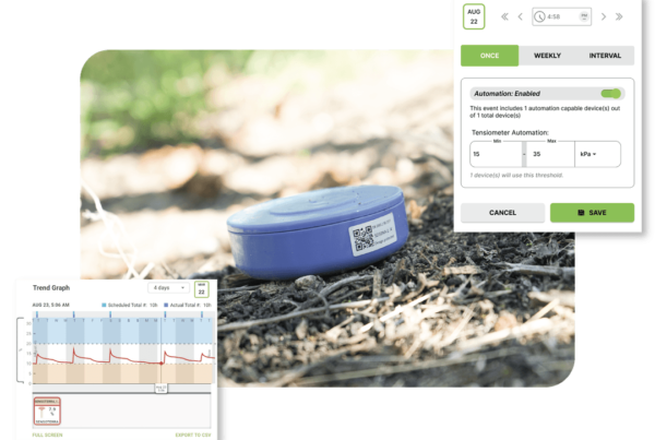
There are a few ways to identify capillary function within the soil moisture data. As previously discussed, capillary function is when moisture from deeper within the soil solution is suctioned upwards through small channels (capillaries), and made available for plant uptake. This can be seen in both the data of the single depth sensors, and even more visibly in the multi-depth sensors.
Single Depth Sensors
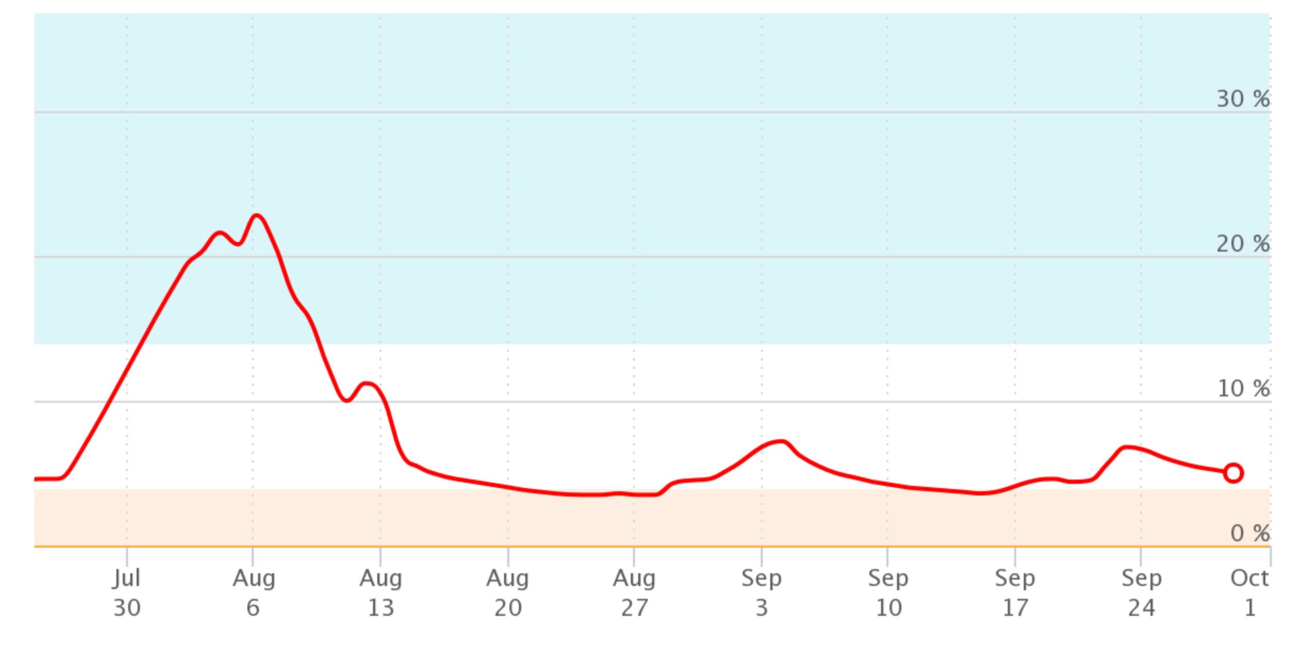
During the evening, with cooling of the ground temperature and increased moisture levels, capillary rise is more evident. Consider the below photo. During the evening and night hours, it’s possible to see small increases in soil moisture levels (at -15cm), indicating capillary function is occurring. This data is not considering a secondary single depth sensor placed in the same area at a deeper depth (at -30 or -60cm), which could give either a more clear indication of capillary rise with significant changes in the volumetric water content at those depths. Alternatively, those deeper sensors, might not show any change in volumetric water content, which would indicate that capillary rise is occurring between the measured depths.
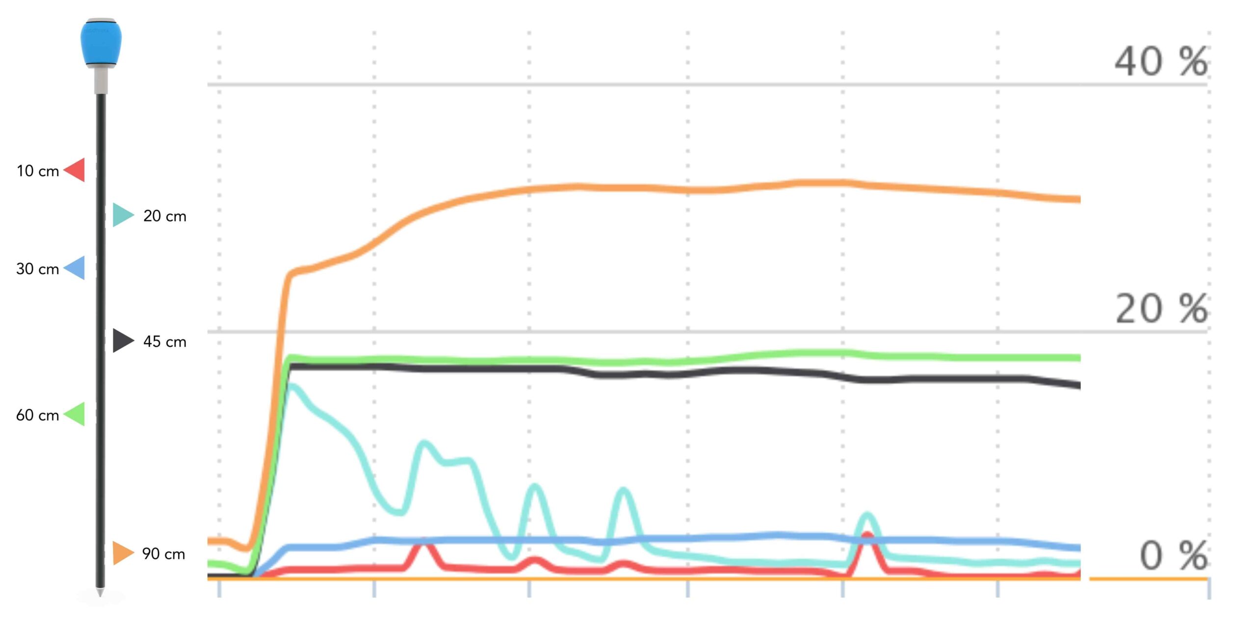
Multi Depth Sensors
It’s often quite a bit easier to see the effects of capillary function with the multi depth sensor data. Take the soil moisture image below. This image shows the top soil levels (-10, -20, -30 cm depths) drying at a much more rapid rate than the lower soil moisture levels (-45, -60, -90). This is evident that the lower soil horizons have sufficient moisture levels due to capillary function.
Case: Interpreting the data for water management decisions
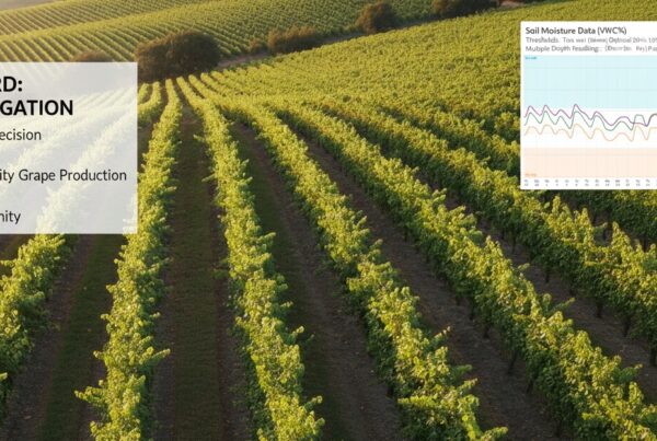
This case in particular is for a corn field located near a river, on a sandy to sandy clay soil. Historically, the farmer has actively irrigated his corn field to ensure the topsoil levels were getting sufficient water. However, this management practice can be changed due to the groundwater availability and capillary rise. Essentially by irrigating frequently, the soil salinity levels are increasing, along with risk of nutrient washout into ground water, and excessive costs for energy use (irrigation rounds) and water (pumping). Irrigation for topsoil does not necessarily mean irrigation at the rhizosphere (root zone) for plant available water. In this case mature corn roots at an average of -60 cm depth.
To properly support changes in farm practice management the following should be considered:
- Soil texture composition across the soil horizons and area: sandy to sandy clay soils
- Geographic setting: a sloping hillside to a river valley, with a high ground water table
- Crop type and rooting depth: corn with a rooting depth at -60 cm
- Historical management: pivot irrigation management, input application, increasing fuel costs, decreasing freshwater availability
An outcome of this data analysis could be to change irrigation practices once the crop has matured and can access water made available from capillary function. This would reduce the number of irrigation rounds saving fuel costs, water use, and reducing nutrient losses to ground water.
Continue the learning with identifying the influence of soil texture on water functionality of the soil with these related articles:
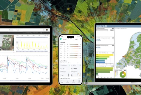
About Sensoterra
Sensoterra is a pioneering leader in the field of wireless soil moisture sensors, offering cutting-edge IoT soil moisture sensor solutions for smart agriculture. Our state-of-the-art Sensoterra soil moisture sensors are at the forefront of agriculture IoT, providing unparalleled soil moisture monitoring capabilities.
Our commitment to precision agriculture technology allows farmers to make informed decisions, optimize their irrigation systems, and embrace sustainable farming solutions. With Sensoterra, access to real-time soil moisture data is at your fingertips, enabling precise water management and water resource management for your agricultural operations.
Sensoterra, established in 2015, with its headquarters in Houten, The Netherlands, develops water management solutions for agriculture/horticulture, smart city management, and water governance. Sensoterra has over 12,000 sensors in the ground globally, and generates hundreds of thousands of data points for smart water management, daily.
Contact for more information, pictures and/or interview requests:
Jessica Nuboer
Marketing & Communications
Sensoterra
Email: [email protected]